
This trail of sculptures and evidence of locations includes artefacts in Sighthill. The ward boundary between Sighthill and Springburn was changed in 2016 but this does not account for social and industrial history of place which sculpture emphatically symbolises in this area.
Each artefact is presented on a bespoke Google Map with some contextualising information and photographs. In the case of photographs the sequence tends to start with the earliest illustrations proceeding to current documentation. In some cases the map utilises pre existing Google landmarking and information. The image below is featured in a Lightbox in Springburn Shopping Centre. The project won best heritage trail in the Glasgow Doors open day festival 2024.
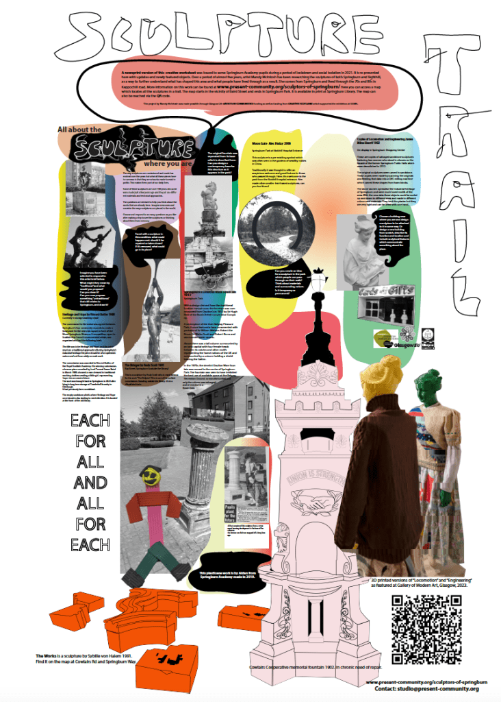
Some of the sculptures featured are ruins or traces.
The idea of the map is that by collectivising this history of sculptures in Springburn, objects can be better understood in relation to each other. In this way, a more in depth account of social and industrial history can be realised using the sculptures as a source of information on aspirations, spatial management and regeneration ideology. The map can be found here
